
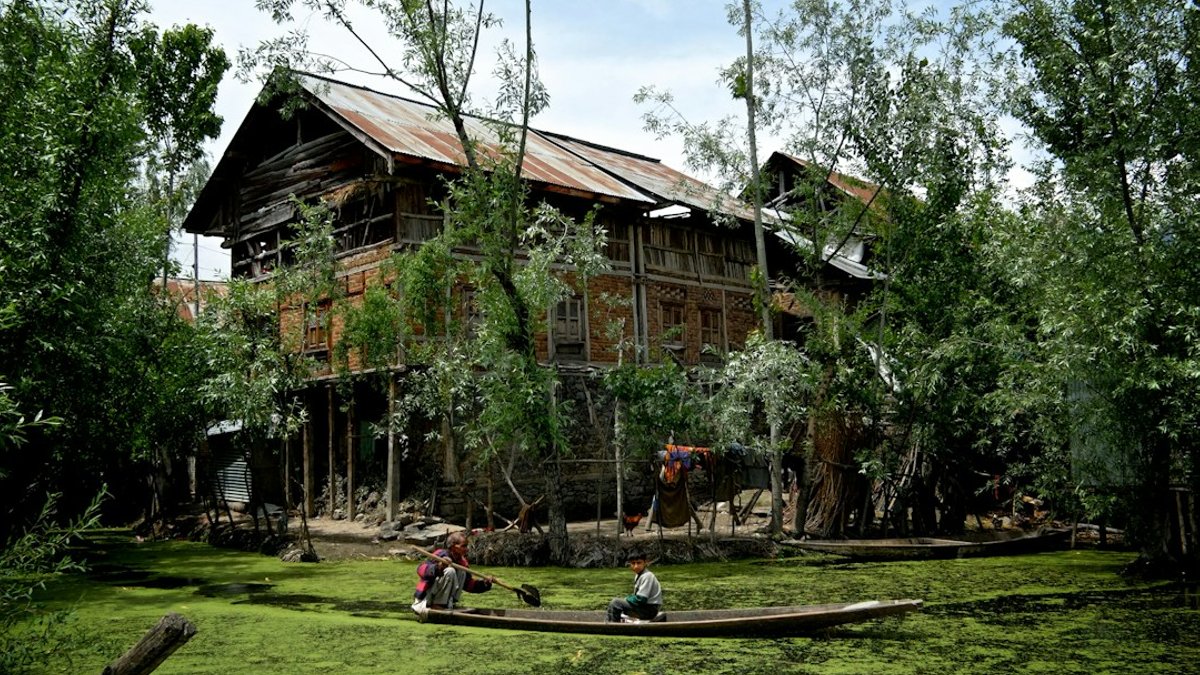
In the hills of the Kashmir Valley, dwindling springs have prompted scientists to look beyond the water’s surface. Residents of Cherwan village, north of Srinagar, recall a once-raging spring that now dribbles, prompting fears of long-term water loss.
Villagers see water receding
Shafeeqa, 40, says the spring that fed her family’s fields during her teens now sputters. She recalls her brother being swept away by its current, a reminder of its former strength. Over the past five to six years, the flow has steadily declined, turning a reliable source into a warning sign.
Local observations echo a broader pattern. Researchers from the University of Kashmir have linked reduced spring discharge to climate variability, noting warmer temperatures, earlier snowmelt and altered precipitation in the Sindh Basin. Hydrogeologist Suhail Ahmad Lone stresses that pinpointing a single cause requires long-term data on each spring’s behaviour.
Science maps uphill recharge zones
A 2025 study led by hydrogeologist Hilal Ahmad Sheikh combined field surveys, GIS mapping and stable-isotope analysis to locate where water enters the ground. The research identified an elevation band of roughly 1,750-2,875 meters (5,741-9,432 feet) as a key recharge zone for many springs in the basin.
Isotopic signatures, which vary with altitude and precipitation type, matched the GIS-derived zones, narrowing the likely pathways groundwater follows before emerging lower down. “When you stand at a spring, you see groundwater emerging, but you cannot see where it comes from,” Sheikh told Mongabay.
Read Also: Biodiversity talks end with little progress
Understanding these zones matters because disturbances can interrupt infiltration. Protecting the identified elevation band could sustain the water that communities depend on for drinking, livestock and crops.
In July, the Jammu and Kashmir Integrated Watershed Management Programme partnered with the university to draft detailed project reports on spring-rehabilitation, including hydrogeological assessments and recharge-zone mapping. The collaboration aims to move from scientific insight to on-the-ground actions that preserve the environments feeding the springs.
Monitoring and local geology
The underlying rock and sediment types also shape each spring’s response. Springs emerging from alluvial sediments, karewa deposits, karst formations or hard rock each follow distinct groundwater pathways, meaning that restoration tactics must be tailored to the local geological setting.
While GIS-based recharge maps highlight probable zones, scientists warn that models alone cannot capture the full picture. Field surveys and on-site water-level monitoring remain key to validate and refine those maps before any intervention is planned.


